Home
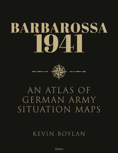
Barbarossa 1941: An Atlas of German Army Situation Maps
Loading Inventory...
Barnes and Noble
Barbarossa 1941: An Atlas of German Army Situation Maps
Current price: $60.00
Barnes and Noble
Barbarossa 1941: An Atlas of German Army Situation Maps
Current price: $60.00
Loading Inventory...
Size: OS
*Product Information may vary - to confirm product availability, pricing, and additional information please contact Barnes and Noble
Featuring original
1: 2,500,000-scale
German military maps, this is a beautifully presented atlas of the 1941 Operation
Barbarossa
campaign.
Operation
, Germany's surprise assault on the Soviet Union in June 1941, aimed at nothing less than the complete destruction of Communist Russia in a matter of months. It was the one period when the Germans had a chance of achieving victory – but the events of the campaign ultimately reversed the fortunes of the Third Reich.
This atlas uses the contemporary daily situation maps produced by the German Army's General Staff to provide a clear historical and geographical picture of one of the pivotal campaigns of World War II. These maps show the configuration of the front line and the locations of major Axis combat formations, as well as the deployments and movements of Soviet combat units as the German military intelligence understood them. The maps are supported by a detailed commentary summarizing and analyzing the operations depicted, tracing the day-to-day progress of the fighting on the Eastern Front.