Home
Die Canabae von Carnuntum II: Archaolgische und GIS-analytische Auswertung der Oberflachensurveys 2009-2010
Loading Inventory...
Barnes and Noble
Die Canabae von Carnuntum II: Archaolgische und GIS-analytische Auswertung der Oberflachensurveys 2009-2010
Current price: $147.00

Barnes and Noble
Die Canabae von Carnuntum II: Archaolgische und GIS-analytische Auswertung der Oberflachensurveys 2009-2010
Current price: $147.00
Loading Inventory...
Size: OS
*Product Information may vary - to confirm product availability, pricing, and additional information please contact Barnes and Noble
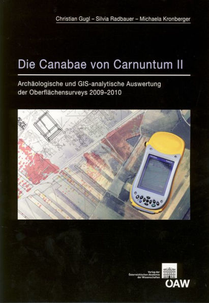
English summary: The Roman army settlement (canabae legionis) of Caruntum occupies a special place within the scholarly study of Roman camp-cities and their suburbs. Due to the intensive utilization of aerial photography of the area around the modern communities of Petronell and Bad Deutsch-Altenburg in Lower Austria in recent decades, a complete master plan of the camp is now available, the rich details of which confirm the unique place of Caruntum among Roman military colonies. The discussion about the development of the settlement has been forced, until now, to rely on the selective findings as they became available. A broadly conceived surface survey accomplishes several goals, such as establishing broad reference points for the expansion of the settlement, the various uses of zones within the settlement, and a chronology of habitation and urban development. German description: Die Carnuntiner canabae legionis nehmen unter den romischen Lagervorstadten eine Sonderstellung ein. Dank der in den letzten Jahren intensivierten luftbildarchaologischen Auswertung auf dem Gebiet der heutigen Gemeinden von Petronell und Bad Deutsch-Altenburg (Niederosterreich) liegt mittlerweile ein Gesamtplan vor, der hinsichtlich seines Detailreichtums als singular unter den romischen Lagervorstadten einzustufen ist. Die Diskussion der Siedlungsentwicklung musste sich aber bisher auf punktuell vorliegende Befunde beschranken. Ein grossflachig konzipierter Oberflachensurvey verfolgte deshalb das Ziel, weitere Anhaltspunkte fur die Siedlungsausdehnung, fur die divergierende Nutzung von Siedlungszonen und fur die Siedlungschronologie zu erhalten.

