Home
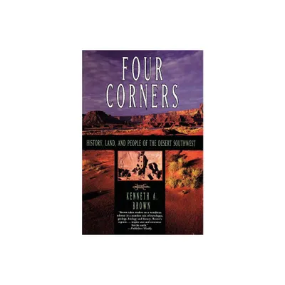
Four Corners [Trail of the Ancients]
Loading Inventory...
Barnes and Noble
Four Corners [Trail of the Ancients]
Current price: $14.95
![Four Corners [Trail of the Ancients]](https://prodimage.images-bn.com/pimages/9781597754507_p0_v2_s600x595.jpg)
Barnes and Noble
Four Corners [Trail of the Ancients]
Current price: $14.95
Loading Inventory...
Size: OS
*Product Information may vary - to confirm product availability, pricing, and additional information please contact Barnes and Noble
• Waterproof • Tear-Resistant • Travel Map
National Geographic's Four Corners Region DestinationMap strikes the perfect balance between map and guidebook and is ideal for a wide range of travelers. The Four Corners Region is the only place in the United States where four states intersect at one point: Arizona, Colorado, New Mexico and Utah.
The map guide seeks to contribute to the economic health of communities in the Four Corners Region by promoting geotourism: tourism that sustains or enhances the geographical character of a place — its environment, culture, aesthetics, heritage and the well-being of its residents.
The front side of the Four Corners Destination Map reveals a map of the region spanning from Dixie National Forest in southeastern Utah; to Great Sand Dunes National Park and Preserve and San Isabel National Forest in southwestern Colorado; to Santa Fe National Forest and Cibola National Forest in northwestern New Mexico; to Coconino National Forest in northeastern Arizona. At the center of the map is the Four Corners Monument, where visitors can stand on the only spot in the United States where four states meet. The map also includes a detailed road network and areas of interest such as Indian Reservations and National Parks, Forests, Monuments and Recreation Areas. Archaeological sites, historic sites, museums, scenic areas, geotourism locations, state parks and other points of interest are also featured.
The reverse side of the map provides invaluable content for travelers with individual maps and descriptions highlighting archaeological sites, festivals, museums and events; outdoor recreation opportunities; water and geologic features; and arts, music and cultural points of interest. The map also features important travel tips and beautiful photographs showcasing some of many ways travelers can experience this enchanted landscape.
Key Features:
Chart of the Four Corners Region's national parks including services and contact information
Colorful photographs featuring the region's diverse terrain
National parks and monuments, geotourism places of interest, historic sites and more
Descriptive content and individual maps highlighting archaeological sites, outdoor recreation opportunities, water and geologic features, and arts, music and cultural points of interest
Every Destination Map is printed on durable synthetic paper, making them waterproof, tear-resistant and tough — capable of withstanding the rigors of any kind of travel.
Map Scale = 1:758,930
Sheet Size = 37.75" x 25.5"
Folded Size = 4.25" x 9.25"