Home
Geospatial Analysis Applied to Mineral Exploration: Remote Sensing, GIS, Geochemical, and Geophysical Applications Resources
Loading Inventory...
Barnes and Noble
Geospatial Analysis Applied to Mineral Exploration: Remote Sensing, GIS, Geochemical, and Geophysical Applications Resources
Current price: $165.00
Barnes and Noble
Geospatial Analysis Applied to Mineral Exploration: Remote Sensing, GIS, Geochemical, and Geophysical Applications Resources
Current price: $165.00
Loading Inventory...
Size: Paperback
*Product Information may vary - to confirm product availability, pricing, and additional information please contact Barnes and Noble
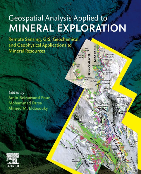
Geospatial Analysis Applied to Mineral Exploration: Remote Sensing, GIS, Geochemical, and Geophysical Applications to Mineral Resources
presents state-of-the-art approaches on recent remote sensing and GIS-based mineral prospectivity modeling for Earth scientists, researchers, mineral exploration communities and mining companies. This book will help readers solve high complexity issues in remote sensing data processing, geochemical data analysis, geophysical data analysis, and appropriate applications of GIS techniques for data fusion designed for mineral exploration purposes. It contains updated knowledge of remote sensing imagery, geochemistry, geophysics and geospatial techniques that can assist in delineating the signatures and patterns linked to deep-seated, covered, blind or buried mineral deposits.
presents state-of-the-art approaches on recent remote sensing and GIS-based mineral prospectivity modeling for Earth scientists, researchers, mineral exploration communities and mining companies. This book will help readers solve high complexity issues in remote sensing data processing, geochemical data analysis, geophysical data analysis, and appropriate applications of GIS techniques for data fusion designed for mineral exploration purposes. It contains updated knowledge of remote sensing imagery, geochemistry, geophysics and geospatial techniques that can assist in delineating the signatures and patterns linked to deep-seated, covered, blind or buried mineral deposits.