Home
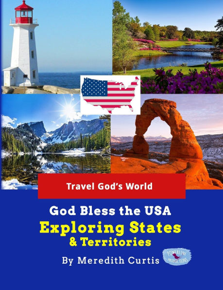
God Bless the USA Exploring States & Territories
Loading Inventory...
Barnes and Noble
God Bless the USA Exploring States & Territories
Current price: $54.95


Barnes and Noble
God Bless the USA Exploring States & Territories
Current price: $54.95
Loading Inventory...
Size: OS
*Product Information may vary - to confirm product availability, pricing, and additional information please contact Barnes and Noble
Study US geography the fun way! Our adventures takes us across the USA to visit 50 states, 5 territories, and 1 district in this amazing geography curriculum visiting beautiful parks, historic landmarks, bustling cities, and quaint towns in this conversational textbook! (color pages)
Get ready to encounter the unique things that make each state special. This geography adventure introduces students to rivers, oceans, lakes, forests, mountains, caves, and other landforms. We will discover cities, highways, companies, churches, museums, and fun plans to explore. Students will map, research, draw, and travel from state to state.
Bonus:
we will visit our five inhabited territories and one district. What fun you and your family or homeschool co-op will have exploring and learning together! For extra fun, add
God Bless the USA Cookbook
by Meredith Curtis to your US Geography course.
Travel is my favorite way to learn geography. If you can't visit all 50 states in person, then
God Bless the USA States & Territories
is the
Next Best Thing
! We explore each state on a trip visiting the exciting spots.
Here's how
God Bless the USA Exploring States & Territories
works! After a brief look at the entire country, we will study the states region by region.
Each State Regional Section opens with an introduction and mapping assignments.
OverviewList of States (or territories)Map of USA-student colorsResourcesClimateCulture/FoodBlank Outline Map with Directions to Create Own Map (not for territories)
Students make a map key and create a map with landforms, the capital of each state, and the name of each state.
After the introduction to the region, we learn about each state! 4 pages are devoted to every state and inhabited territory.
Individual State Studies: First Two Pages
Highlights from each state. We can't see everything in each state; instead we visit a few landmarks special places, and fun spots. The reader and the author (me!) visit beaches, museums, presidential homes, caves, ghost towns, and gardens at various times. Through conversation writing, we also visit beaches, museums, presidential homes, caves, ghost towns, and gardens. We go sightseeing, swimming, hiking, and driving to explore the USA.
Geography
In the first 2 pages of each section, I give a brief overview of the physical geography and climate in one paragraph. Maps are included.
Climate
In the beginning of the book, I give a brief climate overview using a climate map (Koppen Climate Zones).
Business & Farming
Also mentioned are business and farm production - crops & livestock.
Individual State Studies: Third Page
The third page is a road map with simple instructions.
Individual State Studies: Fourth Page
Students research and record state capital, bird, flower, lakes, river, statehood, fun fact, and places to visit. Students draw the flag with colored pencils.
Are you ready for a grand adventure from sea to shining sea? Learn US geography the fun way with our God Bless the USA series.


