Home
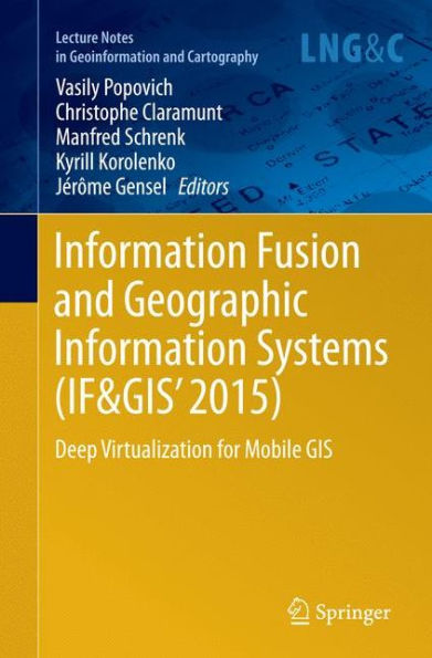
Information Fusion and Geographic Systems (IF&GIS' 2015): Deep Virtualization for Mobile GIS
Loading Inventory...
Barnes and Noble
Information Fusion and Geographic Systems (IF&GIS' 2015): Deep Virtualization for Mobile GIS
Current price: $109.99


Barnes and Noble
Information Fusion and Geographic Systems (IF&GIS' 2015): Deep Virtualization for Mobile GIS
Current price: $109.99
Loading Inventory...
Size: Hardcover
*Product Information may vary - to confirm product availability, pricing, and additional information please contact Barnes and Noble
These Workshop Proceedings reflect problems concerning advanced geo-information science with a special emphasis on deep virtualization for mobile GIS. They present papers from leading scientists engaged in research on environmental issues from a modeling, analysis, information processing and visualization perspective, as well as practitioners involved in GIS and GIS applications development. The proceedings examine in detail problems regarding scientific and technological innovations and deep virtualization for mobile GIS, its potential applications, and the monitoring, planning and simulation of urban systems with respect to economic trends as related to: Artificial intelligence; Knowledge-based GIS; Spatial ontologies in GIS; Positioning and analyzing moving information; Energy GIS; GIS data integration and modeling; Environmental management; Urban GIS; Transportation GIS; Underwater acoustics and GIS; GIS and real-time monitoring systems; GIS algorithms and computational issues; Data reliability and quality assurance for open data; Spatial and data quality; and lastly Open source GIS.


