Home
Mapping Conquest: The Battle Maps of Horseshoe Bend
Loading Inventory...
Barnes and Noble
Mapping Conquest: The Battle Maps of Horseshoe Bend
Current price: $32.95

Barnes and Noble
Mapping Conquest: The Battle Maps of Horseshoe Bend
Current price: $32.95
Loading Inventory...
Size: OS
*Product Information may vary - to confirm product availability, pricing, and additional information please contact Barnes and Noble
In
Mapping Conquest
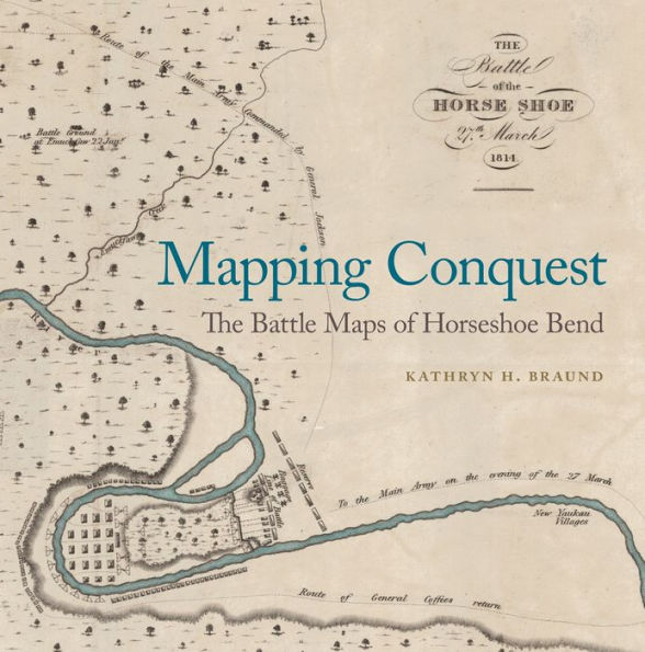
, Kathryn H. Braund analyzes a unique collection of twelve manuscript maps of the Horseshoe Bend battleground, drawn by soldiers in the aftermath of the March 27, 1814, battle. Most are largely unknown to scholars and the general public. Eleven are reproduced here along with numerous nineteenth- and twentieth-century maps and interpretative images of the site—most in full color.
quietly reveals the most important fact about the battle: it was an attack by an American army against a defensive position built to protect the inhabitants of a refugee town of Creek men, women, and children, most of whom lost their lives or were enslaved as a result of the battle.
More than just a collection of largely forgotten maps, Braund’s study provides biographical details about these amateur cartographers and their maps. The hand-drawn maps by soldiers to friends, family, colleagues, and government officials represented a novel way of conveying the army's experience and celebrated their army's astounding success, which took the lives of nearly one thousand Creek Indians. The maps also highlight the Creek response to the American invasion and serve as memorials to those Americans who "did their duty" in defeating the Creeks. The maps reveal the ways in which the dead American officers were memorialized in their own time and continue to dominate interpretative efforts to this day. The book concludes with an impressive collection of twenty-five primary documents describing the battle, many never published before.


