Home
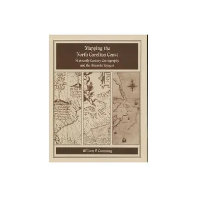
Mapping the NC Coast: Sixteenth-Century Cartography and the Roanoke Voyages
Loading Inventory...
Barnes and Noble
Mapping the NC Coast: Sixteenth-Century Cartography and the Roanoke Voyages
Current price: $12.00

Barnes and Noble
Mapping the NC Coast: Sixteenth-Century Cartography and the Roanoke Voyages
Current price: $12.00
Loading Inventory...
Size: OS
*Product Information may vary - to confirm product availability, pricing, and additional information please contact Barnes and Noble
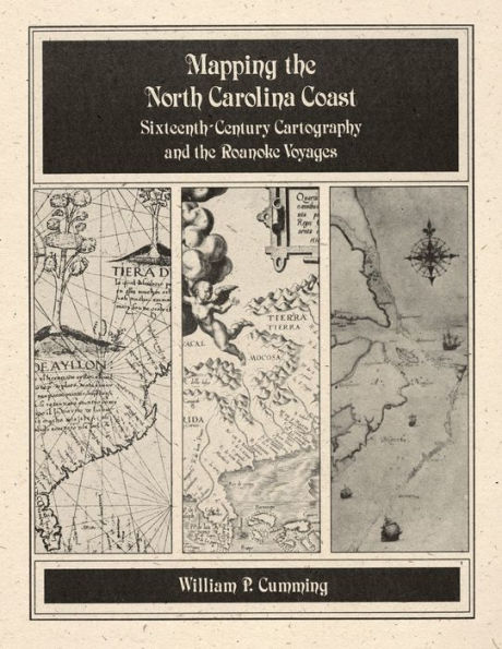
Historical survey that examines the cartography known or available to the English colonists of 1584-1587 as well as that which they produced during their explorations. Includes twenty-eight map plates printed on high quality coated paper, the author's notes, and a useful appendix that lists sixteenth-century names for the southeastern North American coast and correlates them with modern names and landmarks.

