Home
Pikes Peak, Canon City
Loading Inventory...
Barnes and Noble
Pikes Peak, Canon City
Current price: $14.95


Barnes and Noble
Pikes Peak, Canon City
Current price: $14.95
Loading Inventory...
Size: OS
*Product Information may vary - to confirm product availability, pricing, and additional information please contact Barnes and Noble
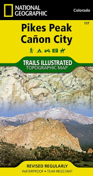
The highest summit in the southern Front Range of the Rocky Mountains, Pikes Peak towers over Colorado Springs like a granite sentinel. Explore this and other geological attractions such as Garden of the Gods, Florrisant Fossil Beds, and the Royal Gorge with National Geographic's Trails Illustrated map of Pikes Peak, Canon City. Expertly researched and created in partnership with local land management agencies, this map features key points of interest including Pike National Forest; Arkansas River; Mueller State Park; Dome Rock State Wildlife Area; and Rampart Reservoir and Shelf Road recreation areas. The print version of the map includes detailed insets of Garden of the Gods and Palmer Park.
This map can guide you off the beaten path and back again with miles of mapped trails including mountain bike routes, and snowmobile, ATV, and interpretive trails. Scenic byways are clearly noted for those taking in the scenery by car. Recreation features are clearly marked, including campgrounds, trailheads, fishing and boat access, and cross country ski and climbing areas. The map base includes contour lines and elevations for summits, passes and many lakes.
Every Trails Illustrated map is printed on "Backcountry Tough" waterproof, tear-resistant paper. A full UTM grid is printed on the map to aid with GPS navigation.
Other features found on this map include: Colorado Springs, Pike National Forest, Pikes Peak, Royal Gorge, Seven Falls.


