Home
The Bighorn Basin Wyoming: Faults, Folds, and the Petroleum Trap:
Loading Inventory...
Barnes and Noble
The Bighorn Basin Wyoming: Faults, Folds, and the Petroleum Trap:
Current price: $29.99


Barnes and Noble
The Bighorn Basin Wyoming: Faults, Folds, and the Petroleum Trap:
Current price: $29.99
Loading Inventory...
Size: OS
*Product Information may vary - to confirm product availability, pricing, and additional information please contact Barnes and Noble
Wyoming consists of a set of basins separated by mountain belts uplifted during the Laramide Orogeny. This book focuses on the Bighorn Basin, its geologic structure, and petroleum resources. The basin is located in the north central part of the state. Faults and folds are covered over by younger sedimentary rock sequences which allowed the basin to become a major petroleum producer in the western US. This book sets out to address the Bighorn Basin petroleum province through discussion on regional and basin specific geologic history, structure, and stratigraphy.
Text format uses geological terms where appropriate. The book is intended for intermediate level undergraduate study in Wyoming geology, and basic petroleum geology. Chapter 1 summarizes Western regional US geologic history. Chapter 2 presents Bighorn Basin stratigraphy, sedimentation, and depositional environments. Chapter 3 summarizes the basin's geologic setting. Chapter 4 presents basic topics covering petroleum geology and significant structures associated with the Bighorn Basin. Petroleum provinces are presented in Chapter 5.
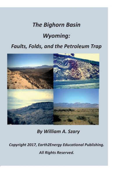
Cover photographs: Upper left: The Bighorn Basin facing east looking out at the Bighorn Mountains from the Cody, Wyoming region. The table top formation in the center basin represents flat lying Eocene sediments. Upper right: The Amsden Formation is exposed in road cuts along US 14 west of Dayton, Wyoming along the eastern front of the Bighorn Mountains. The exposure is severely folded in response to faulting (Amsden Fault) on the right side of the outcrop. Lower left: The Bighorn Canyon displays a regional unconformity in the Bighorn Dolomite and overlying Paleozoic strata. Lower right: The Bighorn Basin from another view closer to the Bighorn Mountain Range.


