Home
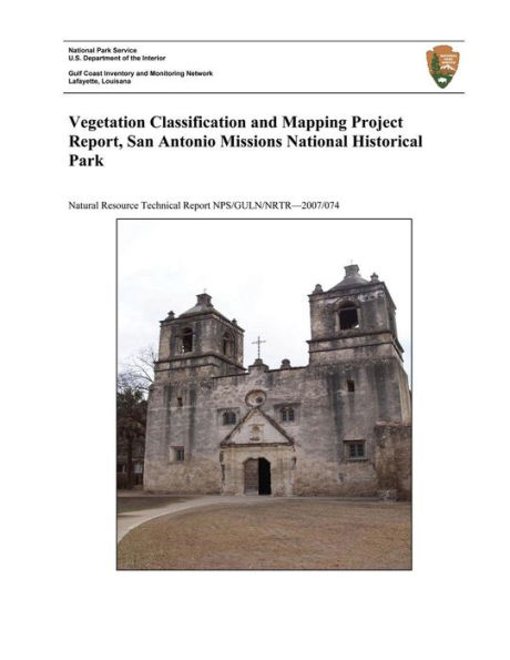
Vegetation Classification and Mapping Project Report, San Antonio Missions National Historical Park
Loading Inventory...
Barnes and Noble
Vegetation Classification and Mapping Project Report, San Antonio Missions National Historical Park
Current price: $16.99

Barnes and Noble
Vegetation Classification and Mapping Project Report, San Antonio Missions National Historical Park
Current price: $16.99
Loading Inventory...
Size: OS
*Product Information may vary - to confirm product availability, pricing, and additional information please contact Barnes and Noble
San Antonio Missions National Historical Park (SAAN) encompasses approximately 844 acres in the city of San Antonio and rural Wilson County, Texas. The park preserves and celebrates the largest collection of Spanish colonial resources in the U.S., including four missions, two acequias (irrigation ditches), and one ranch remnant. The four missions are located in the southern portion of San Antonio along the San Antonio River and the ranch site is located approximately 5 miles southwest of Floresville, Texas and 35 miles southeast of San Antonio. SAAN was created to protect and commemorate these historical structures and in addition it also contains rich and varied natural resources including native flora common to the Tamaulipan thornscrub and southern tallgrass prairie ecoregions. To better understand the distribution of these plant assemblages the National Park Service's (NPS) Southern Plains Inventory and Monitoring Network (SOPN) in conjunction with the NPS's Gulf Coast Inventory and Monitoring Network (GULN) begun a vegetation mapping and classification effort at SAAN.
