Home
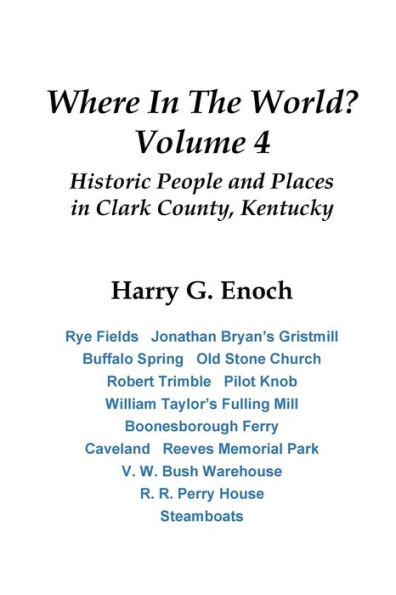
Where in the World? Volume 4: Historic People and Places in Clark County, Kentucky
Loading Inventory...
Barnes and Noble
Where in the World? Volume 4: Historic People and Places in Clark County, Kentucky
Current price: $15.95

Barnes and Noble
Where in the World? Volume 4: Historic People and Places in Clark County, Kentucky
Current price: $15.95
Loading Inventory...
Size: OS
*Product Information may vary - to confirm product availability, pricing, and additional information please contact Barnes and Noble
This book is the fourth in a series compiling articles on Clark County history published in the Winchester Sun. under the title "Where In The World?" Have you've ever heard the name of a place and wondered "where in the world was that?" Answering that question became the basis of a regular column that began on January 6, 2005, with "Bramblett's Lick." This volume continues the series with 52 articles that appeared in the Sun from March 2018 to January 2021.
Each article describes a historic location or notable person in Clark County, some well known, some not so well known. Some articles have been updated from the newspaper version as additional information became available.
In transcribing newspapers and other published material, original spelling was maintained. Some abbreviations were spelled out and punctuation added for clarity. The spelling of creek, road and place names generally follows that used by Clark County GIS on their maps; if not found on their maps, U.S. Geological Survey maps were used.
A considerable amount of research goes into each article. Citations for all the sources used in this research are included here. Maps were one of the essential resources. Readers who wish to find places described in the articles should know where these maps of Winchester and Clark County can be found. Those referred to most often include the following:
1861--E. A. and G. W. Hewitt, "Topographical Map of the Counties of Bourbon, Fayette, Clark, Jessamine and Woodford, Kentucky," accessible at the Bluegrass Heritage Museum and the Clark County Public Library.
1877--D. G. Beers and J. Lanagan, Atlas of Bourbon, Clark, Fayette Jessamine and Woodford Counties, Ky., accessible at the Museum and Library. The Museum has copies for sale.


